Mapping Urban Resilience through Drone and OpenStreetMap Technologies
Post-conference workshop (4-6 December 2025)
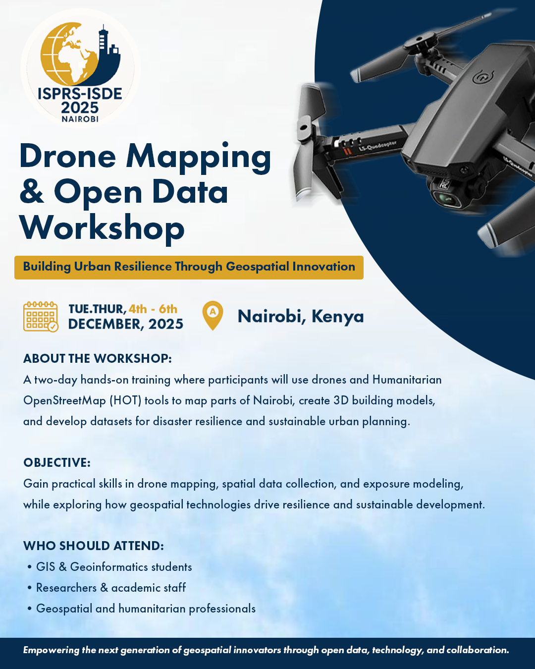
Workshop Description
Join an exciting 2-day practical workshop that brings together geospatial experts and students to map Nairobi using drone imagery and Humanitarian OpenStreetMap (HOT) tools. Participants will gain hands-on experience in data capture, 3D building modeling, exposure assessment and loss scenario analysis, all aimed at advancing disaster resilience and sustainable urban development.
Objectives
- To train participants in drone-based aerial mapping and OpenStreetMap data collection for urban exposure modeling.
- To demonstrate how geospatial data can support disaster resilience assessments and sustainable development goals (SDGs).
- To strengthen collaboration between international researchers and local GIS students in applying open data for societal benefit
Target Audience
- University students in GIS, Geoinformatics and Spatial Analysis
- Researchers and faculty in disaster risk, urban planning and geospatial fields
- Industry and humanitarian partners interested in open data and spatial resilience tools
Key Collaborators
- KCA University, School of Technology
- German Research Centre for Geosciences (GFZ Potsdam)
- Humanitarian OpenStreetMap Team (HOT)
Tutorial Theme Image
Highlight Themes for Banne
- Drone Mapping for Disaster Resilience
- OpenStreetMap for Urban Data Innovation
- 3D Building Modeling for Risk Assessment
- Collaboration • Innovation • Sustainability
Workshop Details
Day 1:
- Drone imagery capture of a selected Nairobi area (e.g., informal settlement or CBD)
- Building mapping and 3D model generation
- Field data collection on building properties using HOT Field Tasking Manager
- Integration of field and aerial data to develop an urban exposure model
- Run a sample loss assessment simulation
Lead Facilitators
Dr. Danijel Schorlemmer
GFZ Potsdam,
Germany
Dr. Chengzhi
GFZ Potsdam,
Germany
Prof. Lucy Waruguru
KCA University,
Kenya
Key Message
Empowering the next generation of geospatial innovators to map urban resilience through open data, technology and collaboration.”
Workshop Registration
Workshop Details
Duration
Half-day
Format
In-person presentations and discussions
Date
December 2–4, 2025
Workshop Contact
Dr. Luo Weiv
geowl@nus.edu.sg
geowl@nus.edu.sg