Next-Gen Disaster Management: Multi-Modal Geospatial Data and AI for Resilient Communities
Multi-Modal Geospatial Data and AI for Resilient Communities
UN Sustainable Development Goals Alignment
This workshop directly contributes to SDG 11 (Sustainable Cities and Communities) and SDG 13 (Climate Action) by advancing disaster resilience and climate adaptation strategies.
Workshop Description
The increasing frequency and intensity of natural disasters pose significant challenges to communities and governments worldwide. To strengthen disaster resilience and reduce vulnerability—particularly in regions experiencing rapid urbanization and the impacts of climate change—advanced geospatial technologies are playing an increasingly vital role.
This workshop explores how Remote Sensing, GIS, and Artificial Intelligence can be integrated to support data-driven decision-making and enhance resilience in the context of the Sustainable Development Goals (SDGs). A special focus will be given to the use of multi-modal data (e.g., satellite imagery, UAVs, street-view data, social media) and domain-informed AI techniques to support the entire disaster management cycle—from risk assessment and early warning to rapid response, post-disaster recovery, and the analysis of forced displacement triggered by disasters.
Topics of Interest
- Risk mapping and vulnerability assessment for SDG support
- Prediction and early warning using geospatial AI
- Post-disaster damage detection and rapid response
- Urban exposure and critical infrastructure analysis with multimodal data (e.g., SAR- optical, street-view, social media data, OpenStreetMap)
- Forced displacement mapping and forecasting from remote sensing and ancillary data (e.g., socioeconomic and environmental data)
- Causal inference and generative AI for disaster modeling
- Explainable AI (XAI) in disaster modeling
- Platforms and tools for operational disaster monitoring
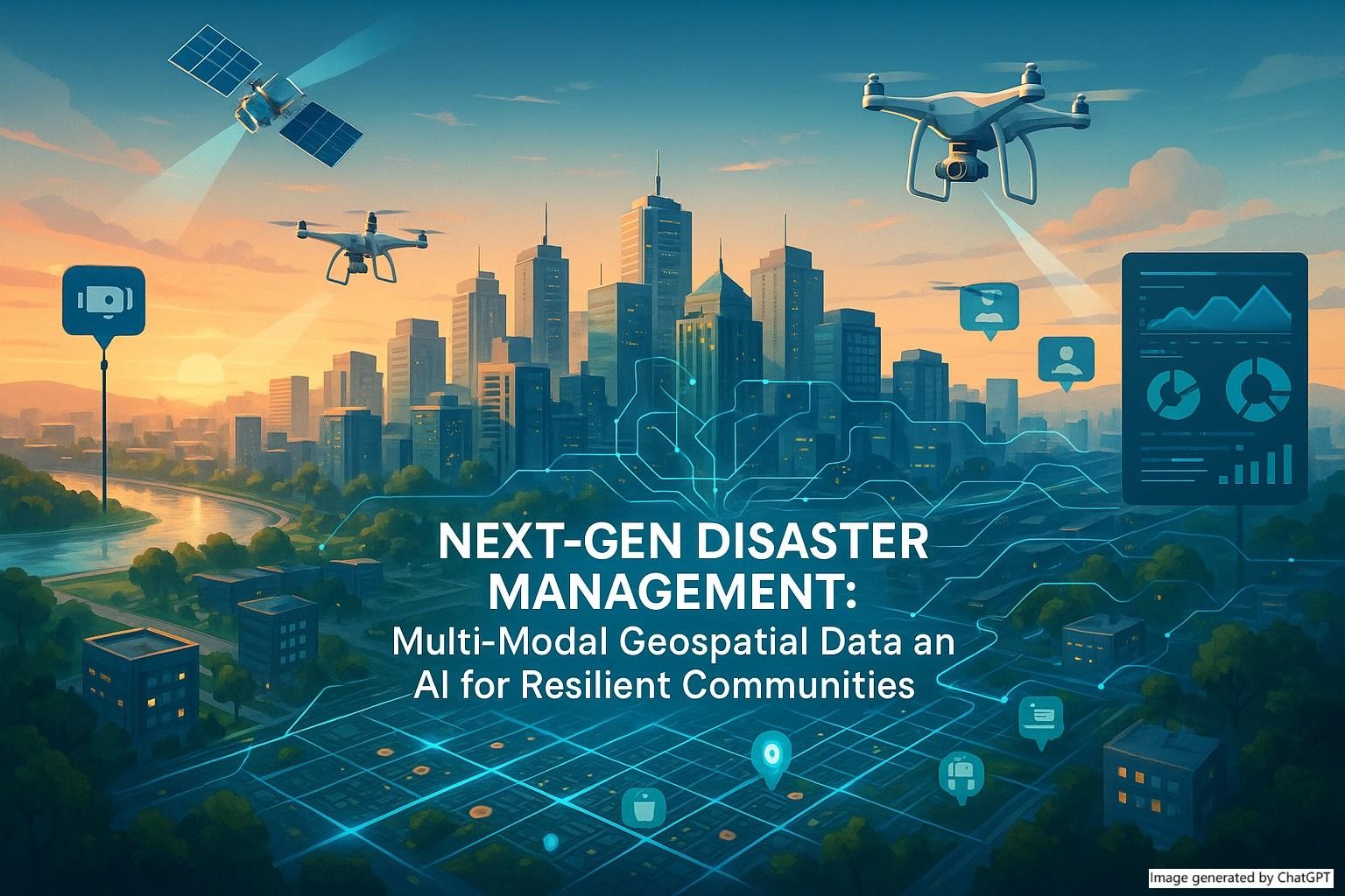
Workshop Theme Image
Workshop Chairs

Dr. Yao Sun
Earth Observation Center
German Aerospace Center (DLR)

Dr. Yu Li
Environmental Research and Innovation
Luxembourg Institute of Science and Technology (LIST)
Committee Members
- Monique M. Kuglitsch, Fraunhofer Institute for Telecommunications
- Nina Merkle, German Aerospace Center
- Jie Shen, Nanjing Normal University
- Danijel Schorlemmer, GFZ Helmholtz Center for Geosciences
- Hassan Abou Seada, Egyptian Space Agency
- Kasra Rafiezadeh Shahi, Potsdam Institute for Climate Impact Research
- Rıdvan Salih Kuzu, German Aerospace Center
- Marc Wieland, German Aerospace Center
- Antara Dasgupta, RWTH Aachen
- Geraldine Henningsen, United Nations High Commissioner for Refugees (UNHCR)
- Yanbing Bai, Remin University of China
Submission Guidelines
Type of submissions
• Abstract – Oral presentation
• Short paper – Oral presentation
Submission method
All submissions should be sent via email to:
Submission deadline
20 th October 2025
Notification of acceptance date
31st October 2025
Publication decision:
Submissions will not be published. They will only be used for participation and reporting.
Additional author instructions
There are no strict formatting requirements, but submissions should follow the specified
length:
• Abstract: 1 page (max 500 words)
•Short paper: up to 5 pages (max 2500 words)
•Each accepted submission will be allocated a 15-minute presentation, followed by 2–3
minutes of Q&A.
Workshop Registration
Relevance to Conference Themes
This workshop will provide insights into the contribution of Geo-Digitalization to the development of sustainable cities, aligned with SDG 11 (Sustainable Cities and Communities) and SDG 3 (Good Health and Well-being), directly supporting the overall conference theme “Geo-Digitalization for Sustainable Development Goals.”
Workshop Details
Duration
Half-day
Format
In-person presentations and discussions
Date
December 2–4, 2025
Relevance
Aligned with UN SDG 11 & 13
Workshop Contact
yao.sun@dlr.de